Mount Durambang
| Elevation | 1145 metres |
| Prominence | 359 metres |
| Location | -32.9004, 150.2442 |
| Region | Wollemi |
| Points | 8 |
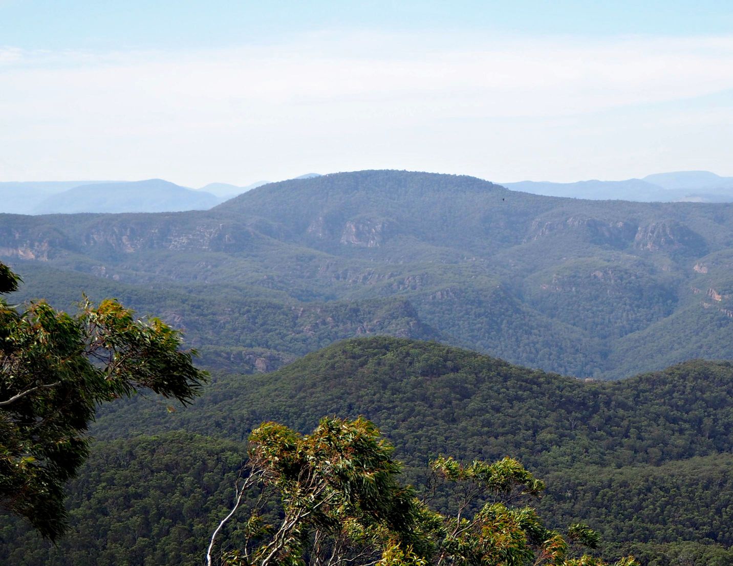
Mount Durambang dominates the Cudgegong valley. This is a rather long walk with gradual climbs. The biggest challenge is navigating your way through the vegetation. This walk follows an old firetrail route. Note that the fire trail is completely overgrown but the fence it runs along can be handy for navigation. The best views are from an open grassy area just north of the summit.
Driving directions
From Rylstone, head east along Narango Road. This turns into a dirt road as you enter Wollemi National Park. Follow this for around 10km to Red Hill. There is a small clearing on the right side of the road where the fire trail starts.
Directions to the summit
1. From the locked gate, head east along Army Road for about 1.5 km
2. Leave the fire trail and head in a roughly SW direction, between the creek and the cliffs.
3. There is a gap where the old fire trail heads up between the cliffs.
4. Once you reach the top of the climb, follow the spur toward the south.
5. Turn west. Follow the fence line for around 1km.
6. Begin the climb heading NW up the mountain. When you reach the summit plateau, head in an arc around the north side of the mountain to avoid the thick vegetation.
7. There is a large cleared area with great views to the north.
8. The summit is 100m into the trees.